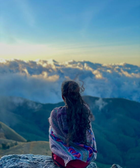
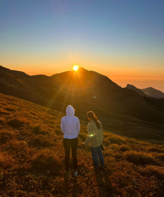
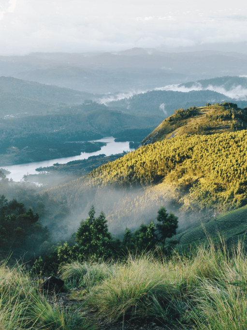
Touching the clouds at Meesapulimala – where every step feels like a dream.
Kerala’s Second-Highest Peak
Meesapulimala: A Breathtaking Trek Above the Clouds
Nestled in the Western Ghats near Munnar, Meesapulimala stands tall at 2,640 meters, offering one of the most scenic and rewarding treks in South India.
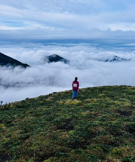
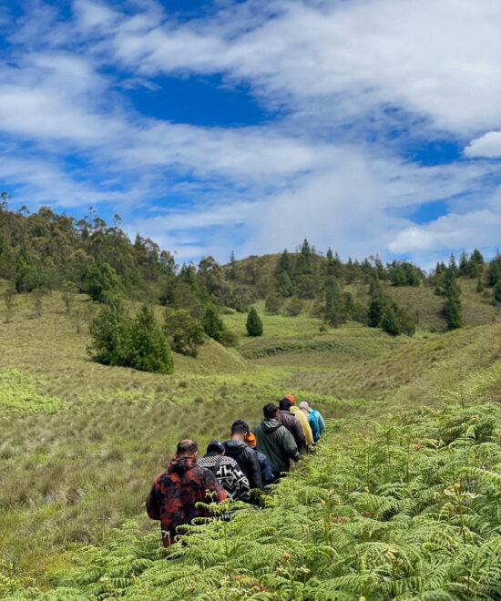
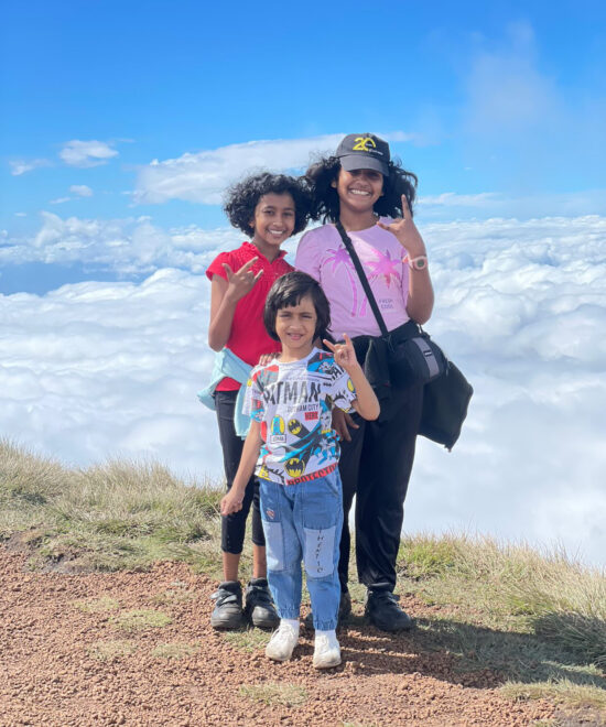
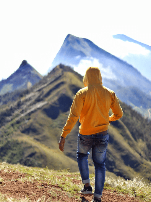
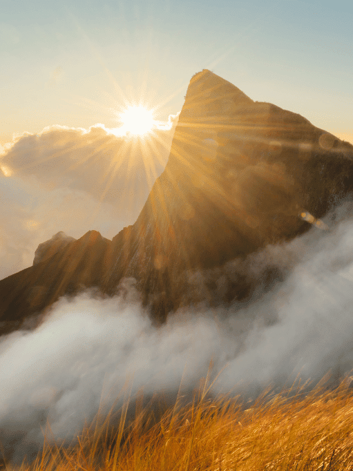
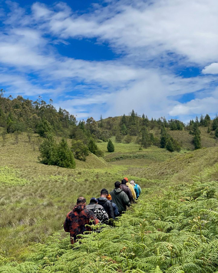
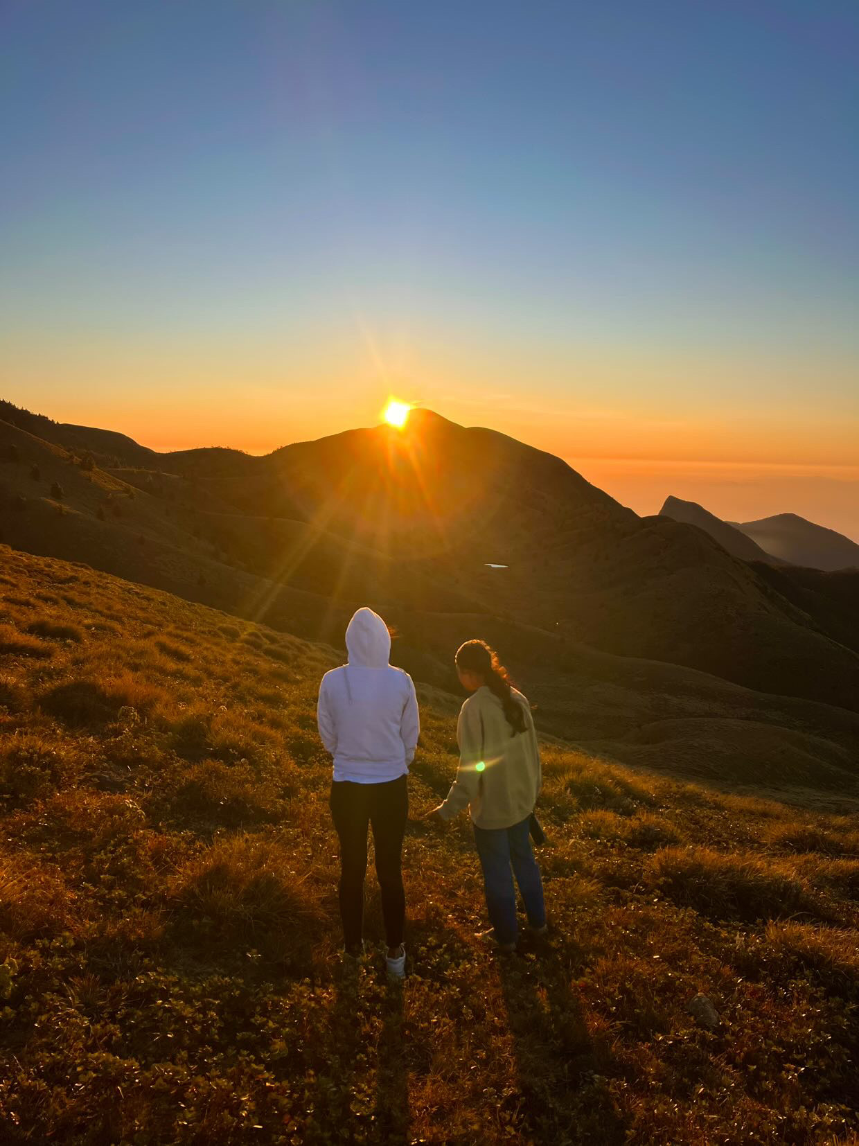
Trekking to Meesapulimala is an unforgettable experience through high-altitude grasslands, shola forests, and misty ridgelines. The trail, managed by the Kerala Forest Development Corporation (KFDC), offers a moderately challenging hike ideal for beginners and seasoned trekkers alike. Along the way, you may spot Nilgiri tahr, exotic bird species, and panoramic views stretching across the Western Ghats. Whether you’re chasing the iconic Meesapulimala sunrise or seeking a quiet escape into nature, this Munnar trek delivers unmatched serenity and adventure in equal measure.
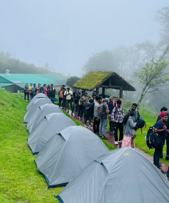
2 Days of Pure Wilderness – Meesapulimala Camps Are Live!
Meesapulimala Trekking: A Complete Guide
Get all the essential details for the Meesapulimala trek, including route information, permit guidelines, and a comprehensive packing list to ensure a safe and memorable adventure.
Meesapulimala Trekking: A Complete Guide
Permit & Guidelines for Meesapulimala Trek
Meesapulimala Trek Packing List: What to Carry for a Safe and Scenic Hike
Trek Route & Map
Starting Point: Silent Valley Viewpoint, near Munnar
Trail Length: Approximately 15 km (round trip)
Key Highlights: Rhodo Valley, shola forests, panoramic viewpoints
Terrain Type: Rolling grasslands, dense shola patches, and moderate rocky ascents
Camping: Overnight stay at designated eco-camps (Rhodo Valley/Base Camp managed by KFDC)
Summit Push: Early morning hike to the Meesapulimala peak and return to camp
⚠️ Trekking to Meesapulimala is regulated by the Kerala Forest Development Corporation (KFDC). Guided treks are mandatory, and permits are limited—advance booking is essential.
How To Reach
Reaching the base of Agasthyarkoodam (Bonacaud) is fairly accessible via road, rail, and air. Here’s how you can get there:
By Bus
Munnar Bus Station (~24 km from base)
By Flight
Cochin International Airport (~120 km)
By Train
Aluva Railway Station (~110 km)
By Private Vehicle
Accessible via Munnar, limited parking near base camp
Nearby Attractions
Make the most of your Meesapulimala trek by visiting nearby places in and around Munnar. Discover scenic viewpoints, peaceful lakes, tea estates, and wildlife spots that add even more charm to your trekking trip.
Kolukkumalai Tea Estate
Located close to Meesapulimala, this is one of the highest tea plantations in the world. The scenic jeep ride and panoramic sunrise views make it a must-visit.
Eravikulam National Park
Home to the endangered Nilgiri Tahr, this park is famous for its rolling hills, rich biodiversity, and the blooming Neelakurinji flowers (once every 12 years).
Mattupetty Dam & Lake
A peaceful spot for boating and photography, surrounded by lush green hills. Great for relaxing after your trek.


